Home › Forums › KX Solutions › Altitude in Offline Maps › Reply To: Altitude in Offline Maps
-

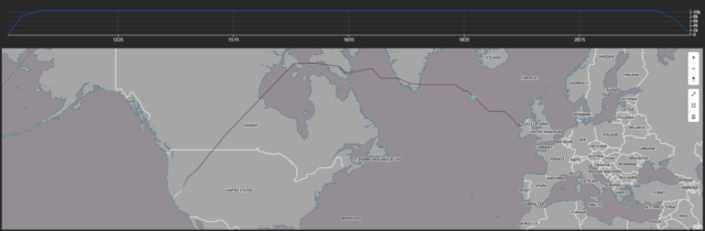
In the current map solution we are just tracking the altitude value at present
There are couple things here that you could do to demonstrate altitude
1) You could use a data-driven line gradient – this would color the line based on the current altitude
2)You could use a secondary chart to show the altitude
If you need anymore details here just let me know
Regard
Kieran